
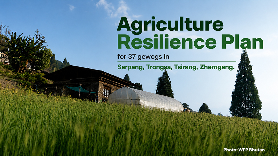
 Climate change is making farming less predictable. Changing rainfall, rising temperatures and more frequent extreme weather are forcing farmers to rethink what they grow. To help them make better decisions, the World Food Programme and the Ministry of Agriculture and Livestock have developed an Agriculture Resilience Plan for 37 gewogs in Trongsa, Tsirang, Zhemgang and Sarpang. Using three decades of climate and land data, the plan identifies the crops and livestock best suited to different locations and will guide agricultural planning over the next five years.
For generations, many farmers have relied on experience to decide what to grow. But as the climate changes, experience alone is no longer enough.
Officials say changing rainfall patterns, rising temperatures and other climate-related challenges are making farming increasingly uncertain. They believe scientific evidence can help farmers make better decisions and improve productivity.
The Agriculture Resilience Plan combines 30 years of climate records with soil conditions, land characteristics, market opportunities and crop suitability to identify the best farming options for different areas.
The findings sometimes challenge conventional thinking.
In Zhemgang, for example, the plan shows that dairy farming suits the district’s climate and landscape. But when market demand, processing opportunities and income potential are factored in, spices offer greater financial returns.
In other words, dairy may be easier to produce, but spices could earn farmers more. As a result, the plan identifies spices, dairy and coffee as Zhemgang’s three priority commodities.
The plan identifies poultry, vegetables and mushrooms as the priority commodities for Sarpang. In Trongsa, dairy, vegetables and mushrooms emerge as the top priorities, while in Tsirang, the recommended commodities are vegetables, dairy and piggery.
“I know some people might say, ‘My family has been farming this land for three generations, so what’s new?’ The idea is to back those decisions with scientific evidence and show what is best suited to a particular area. Agriculture is just one part of developing a region, and this evidence gives farmers reliable information from technical experts. They can then decide what will best improve both their financial security and their food security,” said Peter Rodrigues, the country director of WFP Bhutan.
An interactive mapping tool has also been developed to help farmers, planners and policymakers explore the findings. Users can search by crop, district and location to identify the most suitable farming options for specific areas.
“To make these insights accessible to everyone, WFP has developed a simple interactive visualisation tool that helps users see what grows best and where. The tool allows users to select a crop type and district, zoom in to specific locations, and generate a pie chart showing the different suitability categories for that area,” said Jigme Tenzin, the GIS officer for WFP Bhutan.
Officials say the plan gives farmers scientific evidence to support their decisions rather than replacing their experience.
By matching crops and livestock with local conditions and market demand, they hope to increase farm incomes, diversify livelihoods and encourage more young people to take up commercial agriculture.
The plan will also help government agencies and development partners target investments where they can have the greatest impact.
WFP says expanding the Agriculture Resilience Plan to other districts will depend on the Ministry of Agriculture and Livestock’s decision.
As climate change continues to reshape agriculture, officials believe better information will help farmers reduce risks, improve their incomes and strengthen Bhutan’s food security.
Samten Dolkar
Edited by Sangay Chezom