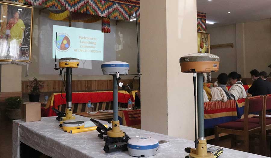
To make surveying easier and more efficient in the country, the National Land Commission launched Druk CORSNet today. It is a network of stations that helps to get real-time signals providing accurate surveys and mapping.
Druk CORSNet can be used for navigation, topography, mining and geological and engineering surveys.
The current method of surveying is time-consuming and labour intensive. However, with the help of Druk CORSNet, surveyors can conduct surveys and mapping efficiently. Currently, nine Druk CORSNet stations are installed across the country with a command centre in Thimphu.
“Now, with Druk CORSNet, any surveyors can directly go to the field and survey using correction through the mobile network. This is reliable, accurate, efficient, and economical in terms of both resources and labour,” said Bijay Pradhan, Head of Geodesy under the Commission.
The existing network located in Thimphu, Phuenstholing, Gelephu, Dewathang, Kanglung, Lhuentse, Bumthang, Wangdue Phodrang and Dagana provides coverage to most of the settlements in the country. The Land Commission used the network on trial for more than a year.
“During the last year of piloting the Druk CORSNet, we have given extensive training to all the surveyors in 20 districts. What we also do is that whenever we commission a new station, we go to that dzongkhag, we test the station, and make sure we train all the surveyors,” said Tenzin Namgay, Director of the Department of Surveying and Mapping under the Commission.
The National Land Commission spends more than a million Ngultrum to build and operate one station. To achieve nationwide coverage, the Commission plans to set up new stations in Haa, Samtse, Zhemgang and Gasa.
Kelzang Choden
Edited by Sonam Pem/Sangay Chezom


