 Geospatial data of eight southern dzongkhags will be available after three years. Geospatial data is information that identifies the geographic location and characteristics of natural or constructed features and boundaries.
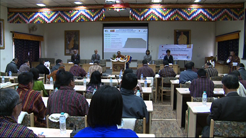
The data will be collected by the National Land Commission Secretariat, with the support of JICA experts.
They say it is going to be an exemplary geospatial data for the South Asian countries.
Bhutan’s current geospatial data was first developed by India in the 1960s.
The new data will have specific details of the topography, road network, administrative boundaries, settlements and facilities.
These can be used by various agencies like Ministry of Agriculture and Forests, Bhutan Power Corporation Limited, and Ministry of Home and Cultural Affairs, among others to frame their plans and policies.
All the information collected will be updated online. The National Land Commission Secretariat will also release an ATLAS map soon. It will have the details of land cover and facilities.


