
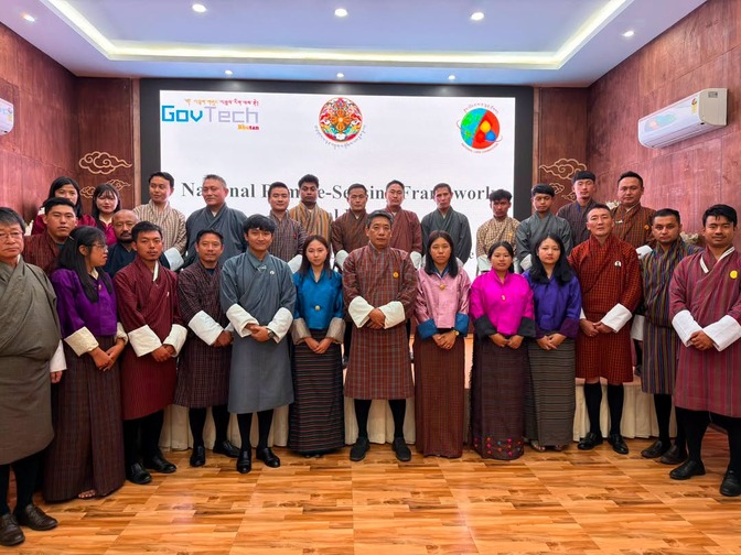
 From monitoring forests and glaciers to preparing for disasters and planning infrastructure, remote sensing has become an important tool for governments around the world. It uses satellites and drones to scan and gather information about places, helping authorities make better decisions. But despite its benefits, in Bhutan, many government agencies using the technology have largely worked on their own, in silos. That is now set to change with the launch of a National Remote Sensing Framework yesterday.
The National Remote Sensing Framework is Bhutan’s first coordinated approach to using satellite and drone data for areas such as disaster management, environmental monitoring, agriculture, and land planning.
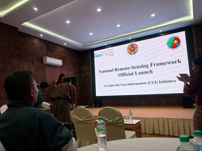
The Division of Telecom and Space under the Government Technology Agency, in collaboration with the National Land Commission Secretariat and the Centre for Geo-Information, developed the document. It will allow government agencies to share remote sensing data, collaborate, and adhere to common standards rather than develop separate systems.
This builds on the country’s existing arrangements to organise its geospatial data. In August last year, the National Land Commission launched the country’s first National Spatial Data Infrastructure to centralise geospatial information that had been scattered across agencies in different formats, an arrangement that had led to costly setbacks in the past.
“The data that we have procured through this framework can be hosted in our system so that other agencies can get access to this data, which can be used for socioeconomic planning, so that we can have better service delivery for the benefit of our people,” said Karma Tshering Dema, GIS Officer, NLCS.
For the public, the changes may not be immediately visible, but the impact could be significant.
Better access to data means evidence-based planning. This accessibility is expected to strengthen disaster preparedness, improve environmental monitoring, support agriculture planning, improve land management, and help agencies make better decisions when developing infrastructure.
“If there is national planning where infrastructure is required to be built, it will become easier for government agencies to decide where this infrastructure needs to be built and how it needs to be built. So that way, this framework is aimed at streamlining the coordination among various agencies, ultimately so that the citizens benefit from it,” said Kiran Kumar Pradhan, Chief Program Officer, GovTech Agency.
Bhutan currently relies mostly on freely available satellite images from global sources. However, officials say these do not always meet the country’s specific needs.
“So that is an area we definitely need to enhance. But more than that, I think right now it is the development of competency. While some of our agencies have quite expert-level competency in using satellite imagery and doing remote sensing applications, most of our agencies currently don’t have that competency. So that is an area we are trying to address through this framework by a coordinated approach and sharing of experience and knowledge,” said Kiran Kumar Pradhan, Chief Programme Officer, GovTech Agency.
Following the launch, the participating agencies are expected to establish technical working groups in the coming months.
The framework will be reviewed every five years to keep it aligned with changing national priorities and technology.
Devika Pradhan
Edited by Sonam Wangdi