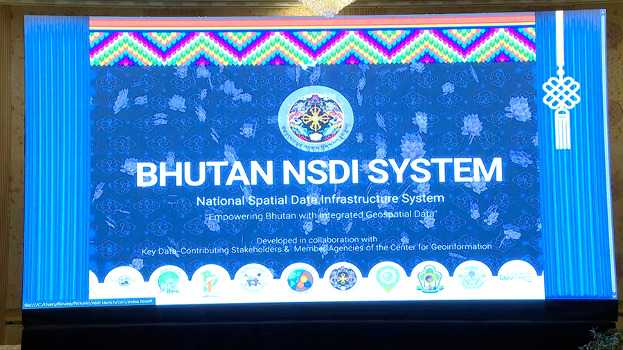
 Agencies and stakeholders will no longer have disputes over land use issues because of unreliable or non-standardised information. The country now has an online portal where everyone can access accurate, standardised maps and location data. The National Land Commission Secretariat, today, launched Bhutan’s first National Spatial Data Infrastructure or NSDI. It is a digital platform that provides accurate geospatial data for better planning and decision-making. The Prime Minister, along with ministers and government officials, attended the launch.
Until now, Bhutan’s geospatial data has been scattered across different agencies and stored in different formats. This caused costly setbacks. For example, the relocation of the Jigmeling Industrial Park in Sarpang cost over Nu 2bn and in Pema Gatshel, a school and several houses had to be dismantled to expand gypsum mining operations.
The new National Spatial Data Infrastructure or NSDI System solves this by centralising all information. Agencies can now share and access accurate, up-to-date, and standardised data, ensuring better planning and decision-making.
The online system will help stakeholders work together more effectively and support Bhutan’s 10x Economic Roadmap for accelerated development.
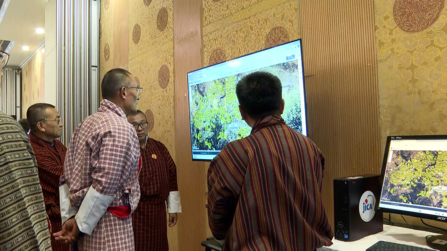
“As an individual, you can access your map and explore features such as settlements, road networks, schools, and health centres. For policymakers, this will be a valuable tool for decision-making and policy analysis. It also has commercial benefits, as we have integrated the land use zoning map into the system,” said Samten Dendup, Director, National Land Commission Secretariat.
 According to the Prime Minister, the launch is a milestone for Bhutan. He said it will speed up development from making the best use of limited arable land to improving road maintenance and strengthening disaster response.
He also urged stakeholders to work together, emphasising the project’s role in achieving the vision of the Gelephu Mindfulness City.
The project is a technical cooperation initiative supported by the Japan International Cooperation Agency and implemented by the National Land Commission Secretariat.
Tashi Dekar
Edited by Sonam Pem


