 The Department of Forests and Park Services (DFPS) will soon use geospatial technology to study forest cover change and assess destruction from fire, pest and diseases.
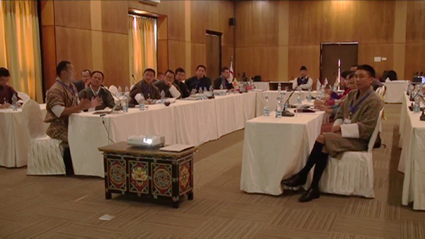
In line with this, a regional workshop on estimating forest cover change was held in Paro on Wednesday. It was organized by the Department of Forests and Park Services and the International Centre for Integrated Mountain Development (ICIMOD).
Google Earth Engine and Landsat image will be used not just to estimate forest cover changes but also in building the capacity of foresters in the field.
The department will start using spatial data and information in the issuance of forest clearance in the 12th Five Year Plan.
“As of now, we just issue the forest and land clearance and have records on papers and also a little bit on the map, which is recorded in the National Land Commission,” Kinley Tshering, a Senior Forest Ranger with the DFPS, said.
“But now with this, we will have a spatial data as a reference and also to plan forestry and other developmental activities according to constitutional mandate and as per the forest rules and regulations and also the land act. So this kind of technology, like using satellite images, will benefit us.”
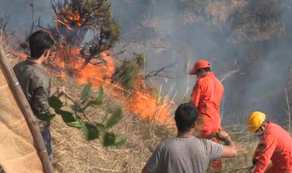
 Officials say they will be able to carry out proper rehabilitation of forest areas after fires through the use of Monitoring Trends and Burn Severity (MTBS) project.
“When there is a forest fire, we just normally do a random survey with the help of human resource but now when we use the technology like Monitoring Trends and Burn Severity, we don’t have to directly go into the field. You could do from a table. The MTBS will help foresters to carry out rehabilitation programs.”
Monitoring Trends in Burn Severity (MTBS) helps to consistently map the location, extent and associated burn severity of forest fires. It provides a continuous record of burn severity trends to assess the effectiveness of national fire management policies.


